
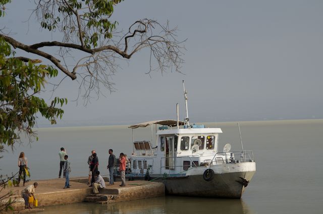
Our ferry #2, Zeghie Peninsula, Lake Tana, Ethiopia, 19 Feb 2014

Door of Ura Kidane Mehret Church, Zeghie Peninsula, Lake Tana, Ethiopia, 19 Feb 2014
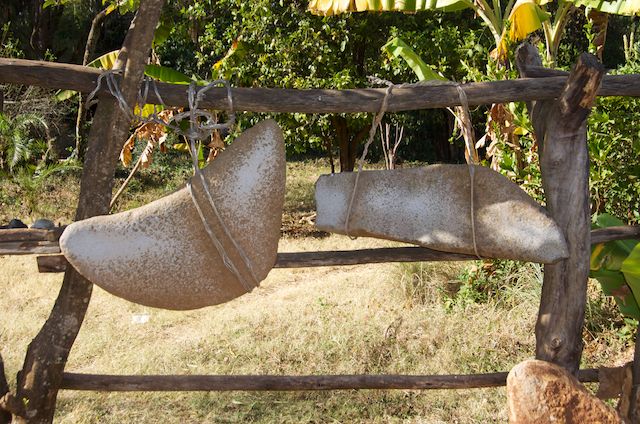
Stone chimes, Zeghie Peninsula, Lake Tana, Ethiopia, 19 Feb 2014

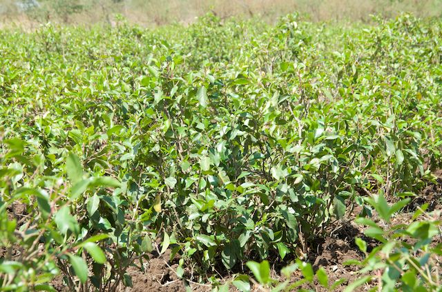
Coffee trees, Zeghie Peninsula, Lake Tana, Ethiopia, 19 Feb 2014

Tony with Grade 4 students, school near Bahir Dar, Ethiopia, 19 Feb 2014

Grade 4 students, school near Bahir Dar, Ethiopia, 19 Feb 2014

Boatman crossing the Blue Nile Falls, Ethiopia, 19 Feb 2014
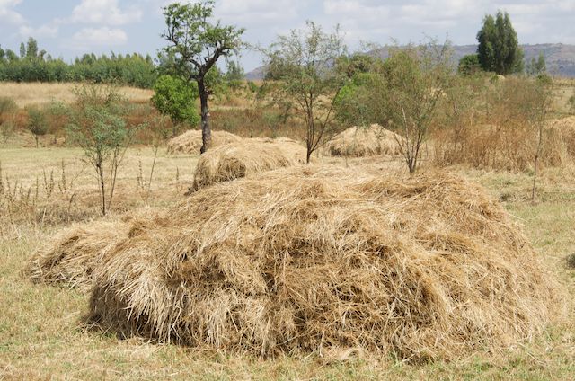
Hay stack near Blue Nile Falls, Ethiopia, 19 Feb 2014
Chat crop near Blue Nile Falls, Ethiopia, 19 Feb 2014

Group photo at Blue Nile Falls #1, Ethiopia, 19 Feb 2014

Blue Nile Falls #3, Ethiopia, 19 Feb 2014

Suspension bridge near Blue Nile Falls #1, Ethiopia, 19 Feb 2014

Blue Nile Falls #2, Ethiopia, 19 Feb 2014

Blue Nile Falls panorama, path to Blue Nile Falls, Bahir Dar, Ethiopia, 19 Feb 2014

Tree, path to Blue Nile Falls, Ethiopia, 19 Feb 2014

Cooking injera, path to Blue Nile Falls, Bahir Dar, Ethiopia, 19 Feb 2014

Boy with green plastic sandles, path to Blue Nile Falls, Bahir Dar, Ethiopia, 19 Feb 2014

Portugese stone bridge, path to Blue Nile Falls, Bahir Dar, Ethiopia, 19 Feb 2014

Woman getting water, on route to the Blue Nile Falls, Bahir Dar, Ethiopia, 19 Feb 2014

Local house, on route to the Blue Nile Falls, Bahir Dar, Ethiopia, 19 Feb 2014

Bird of paradise, Abay Minch Lodge, Bahir Dar, Ethiopia, 19 Feb 2014
Bahir Dar (sometimes the spelling is Bahar Dar) is a large town on the southern shores of Lake Tana which is the largest lake in Ethiopia. Lake Tana is at an altitude of 1830m and has a surface area of 3673 square kilometres. Most significantly, it is the source of the Blue Nile River which eventually joins with the White Nile at their confluence in Khartoum, the capital of Sudan and then the Nile flows north through Egypt to the Mediterranean Sea. Our morning adventure was to head for the Blue Nile Falls that are about 30 km from where the Blue Nile exits Lake Tana. The trip involved our bus bumping its way along the dustiest road imaginable with houses and schools all suffering this terrible dust but all apparently going about their lives unperturbed. One motorbike pillion passenger’s solution to the dust was to place a plastic bag over his head as facemask. We stopped briefly at a small village to pick up a guide and then drove to a parking point overlooking the river in a deep ravine below.
A short walk down a steep track brought us to the Portuguese Bridge (Agam Dildi) built of stone in around 1640. We then visited a family home where enjira (a type of pancake) was being prepared and then proceeded to a high point where the waterfall was visible. Being the dry season, there was not a huge water flow but nonetheless was still pretty spectacular. At full flood the waterfall is 400m wide and the plunge over a 45m wall is into a gorge below where the water has carved a channel through the rock leaving a course estimated to be 37m deep in places!
We crossed a fairly new suspension bridge and then went down to the base of the waterfall where the air was misty and windy as a consequence of the spray produced.
We then walked a couple of kilometres upstream from the waterfall and crossed the river in a small steel boat that was powered by the most dilapidated Johnson 9.9 HP outboard motor one could ever imagine. Despite this, we made the crossing safely and our bus was there waiting for us. The pathway up the other side of the river took us past the hydroelectric power station that has been built with a concrete dam just a few hundred metres upstream from the waterfall. This diverts water from the fall and there are serious concerns that the energy benefits are not balanced by the long-term environmental factors; as is the case with the Aswan High dam.
On the return journey to Bahir Dar we had a brief interlude to visit a school. We were invited into a grade four afternoon class with 27 students whose ages range from about 10 to 17. The older students had been deprived of education earlier in their lives as they were required to help on their family farms. There were no facilities in the classroom apart from a chalkboard and 3 small pieces of chalk. Despite the basic nature of the classroom, the students were the best-behaved children we had met on our travels. They sang to us and we then chatted with them and handed out pencils while they proudly showed us their workbooks.
In the afternoon we boarded an old tourist boat in Bahir Dar and crossed the southern part of Lake Tana to Zeghie Peninsula. The 15km of travel brought us to a village where the 14th Century Ura Kidane Mehret Church is located. We walked up through coffee plantations past a myriad of souvenir benches to a hilltop where this ancient mud brick church has now been enclosed within a newer external building. The old church is adorned with hundreds of strangely crafted murals depicting Christian stories and inevitably (and no-one is sure why) St. George and the Dragon are featured. The doors to the church are 5m high and all made from single pieces of timber.
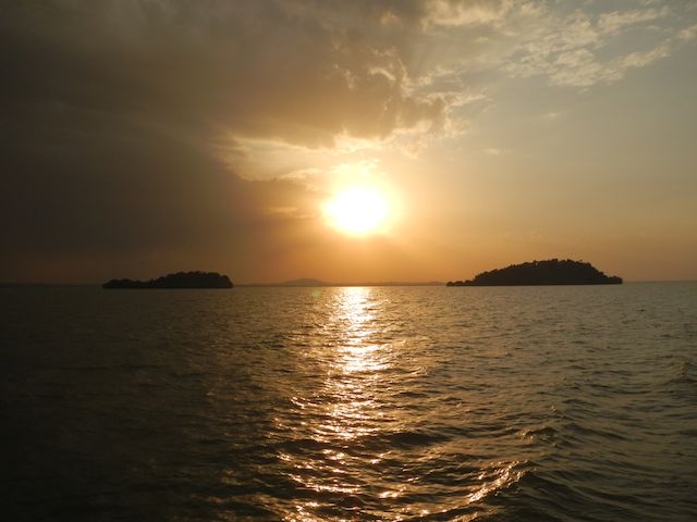
We returned to Bahir Dar near sunset and a brief rainstorm gave us the first hint of rain for nearly a week. The weather today was pleasant with the maximum temperature being around 28C.
We leave Bahir Dar tomorrow for the Simien Mountains National Park.