
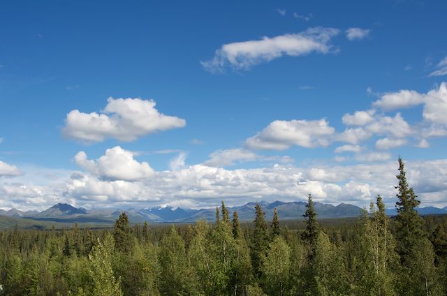
Mountains near Chistochina Bay

Storm clouds

Canadian, Alaskan border
The early morning conditions were a clear sky and a bitterly cold wind that initially dampened enthusiasm until the sun rose and the wind dropped.
Our tents were still a little wet from the short rain shower we’d had last night but with a big travel day ahead we packed them up and got on the road as soon as breakfast was over and the bus loaded.
Following Highway One (Alaska Highway) to Burwash Landing, we had excellent views of the St. Elias Mountains for the first hour or so and then the scenery changed to a flatter and forested environment where lots of road works were occurring and required us to stop for several periods of about 15 minutes.
At Beaver Creek we bought fuel and had coffees and surveyed this little township that appears to exist in the middle of nowhere.
Just beyond Beaver Creek we came to the USA/Canada border which occurs at longitude 141o west. There is a clear track cut through the forest following this meridian and a number of memorial plaques and information signs telling of the construction of the international highway.
The USA border officials appeared to be very officious and requested that we unload the bus and open our packs but their inspection of the contents of our bags was very superficial. The only things they confiscated were tomatoes.
A further 175 km brought us to Tok, a town we’d visited earlier in our travels. This meant we had completed a road circuit of just over two thousand kilometres in the Alaska/Canada region. This doesn’t include the flight distances up to the Northwest Territories.
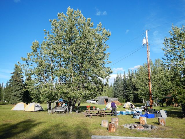
In Tok we bought supplies including food, beer and wine and then did our final road stint for the day to Chistochina Bay which is on the Sterling Highway (US Highway 1) linking Tok to Valdez. The distance travelled today was just under 500 km.
The Red Eagle camping grounds were about the best we’ve encountered so far and not only had clean showers but access to wifi and a laundry. Mosquitoes were a problem but the best solution was to head for the tents and call it a night.